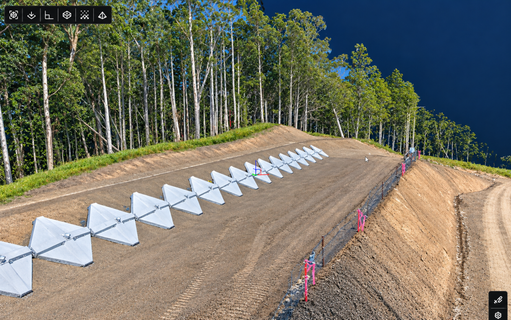
Aerial LiDAR and Photogrammetry
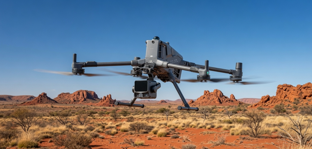
We provide advanced drone‑based LiDAR surveying and photogrammetry mapping services using the DJI Matrice 400 platform equipped with the Zenmuse L3 LiDAR sensor and high‑resolution RGB imaging systems. This integrated workflow allows us to capture dense, survey‑grade point clouds, detailed orthomosaics, 3D models, and accurate terrain data across complex environments. LiDAR enables precise ground‑level mapping even through vegetation, while photogrammetry delivers high‑quality visual detail for asset inspection, volumetrics, construction monitoring, and digital‑twin applications. Together, these technologies provide fast, safe, and highly accurate spatial data acquisition, producing deliverables such as DTMs, DSMs, contours, textured 3D models, and classified point clouds ready for CAD, GIS, and engineering workflows.
Point Cloud processing service
Point Cloud processing service using Cube-3d and Carlson Civil Suite software. We can create orthophotos from aerial photos. Register and align different point clouds from the same project area into one geo‑referenced 3D model. Cube‑3D has automatic GCP detection, classification, cross‑sections, contour lines, mesh generation, CAD editing, and volume calculations.
Our computer uses the latest Nvidia RTX 5090 Graphics card for fast data processing.
Please contact us for more information and to quote on a job.